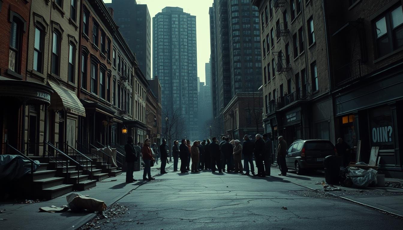
This introduction traces how a century of policy choices and private investment collided to reshape a community once called the heart of local Black culture.
The story follows early settlement, civic life preserved by the Grove Hall Memory Project, and Freedom House’s photo archives. It also follows how the city redevelopment authority, later the BPDA, used eminent domain and tax tools to remake streets and lots.
Mapping projects from the University of Richmond and visual archives show where mortgage access and planning power cut into neighborhoods. The data helps explain why policies like redlining and renewal mattered in daily life.
We trace who gained, who paid, and how current development and stark wealth gaps—highlighted in the Color of Wealth report—shape housing today.
Key Takeaways
- Policy and private capital reshaped community landscapes over decades.
- Archival maps and photos document both life and clearance.
- Eminent domain and tax incentives were pivotal tools in redevelopment.
- Racial wealth gaps underpin access to housing and opportunity.
- Local organizing and trusts offer paths toward community control.
Executive Summary: How Redlining And Urban Renewal Shaped Roxbury’s Past
Maps from the HOLC and later research show how redlining cut off credit and set patterns in place. That grading shaped where investment flowed and where disinvestment remained. This history left clear marks on the area and on segregation.
The Boston Redevelopment Authority, created in 1957 and now the BPDA, used eminent domain and tax tools to push large projects. These actions sped up urban renewal, often favoring land assembly and private redevelopment over resident stability and long-term housing security.
Freedom House photographs capture residents and civil rights organizers as they contested school oversight and plans that reshaped streets and storefronts. The West End example—more than 7,500 people removed—became a turning point for citywide skepticism about sweeping clearance.
- Policy to people: constrained lending, clearance, and segregation combined to limit mobility and wealth-building.
- Outcomes: family displacement, loss of small businesses, and cultural erasure beside new towers.
- Responses: community institutions and groups reframed redevelopment as something communities design.
From Beacon Hill To The South End To Roxbury: Migration, Community, And Place
Community life moved with families and churches, tracing a long arc from beacon hill to the south end and then to the neighborhood that became a cultural center.
Beacon Hill’s Early Black Community And The African Meeting House
The African Meeting House stands as the oldest extant Black church building in the United States. It anchored faith networks that supported civic life and mutual aid in the 19th century.
Those institutions hosted conventions, meetings, and campaigns that shaped civic traditions for generations.
South End Roots, Freedom House, And Community Institutions
The move to the south end brought a diverse mix of clubs, churches, and small businesses. Congregations like Twelfth Baptist and Charles Street AME relocated with members.
Freedom House later documented desegregation work and local organizing. Its archives preserve community strategies and everyday life.
Roxbury As The Heart Of Black Culture In Boston
As migration continued, the area emerged as a hub for art, activism, and neighborhood institutions. Homes, churches, and schools created dense social networks across years and decades.
Archival scholars such as Adelaide Cromwell traced these ties, linking 19th-century conventions to 20th-century civic leadership.
“Our churches and clubs kept us tied to place and to one another through change.”
| Era | Key Institution | Role | Legacy |
|---|---|---|---|
| 19th Century | African Meeting House | Faith, conventions, mutual aid | Historic civic foundation |
| Late 19th–Early 20th | South End Clubs & Churches | Social networks, daily life | Movement of congregations |
| 20th Century | Freedom House Archives | Desegregation oversight, organizing | Documented civic strategies |
| Mid–Late 20th | Community Arts & Institutions | Culture, activism, homes | Heart of city culture |
- Faith networks sustained civic action and mutual aid.
- Migration reflected search for homes and safer life chances amid exclusion.
- Archival work and local collections map these ties across a century.
![]()
For primary sources and maps, consult the BPL collections to see how social networks and space shaped community trajectories.
Redlining To “Renewal”: Policies, Maps, And The Mechanics Of Displacement
Maps and agency reports reveal how credit ratings and redevelopment plans remade city blocks.
HOLC Redlining Maps And “Mapping Inequality” Insights
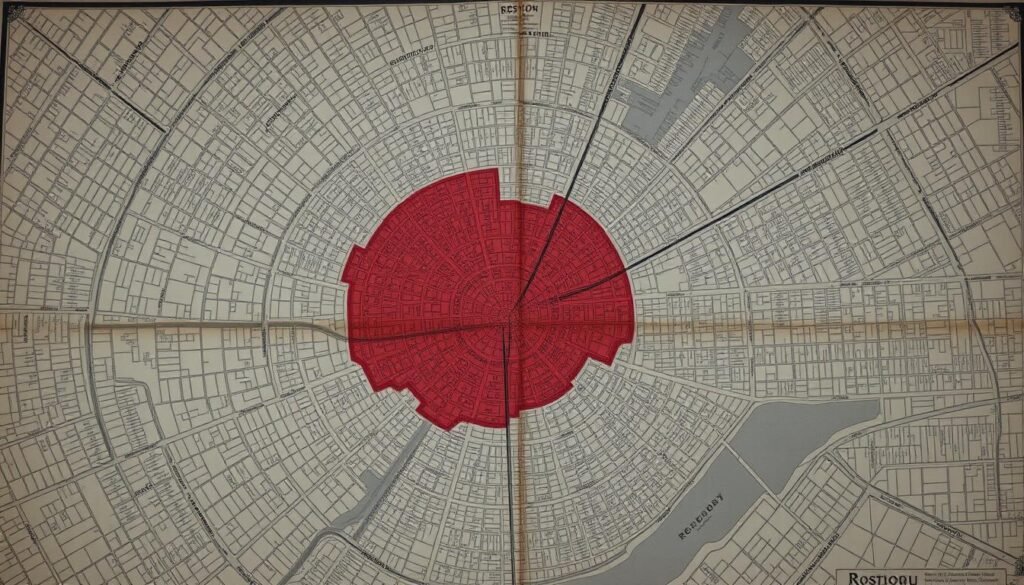
The HOLC graded areas and set a durable cartography of risk that steered lending away from many blocks. Mapping Inequality hosts those maps and descriptions and shows how withheld capital hardened patterns on the ground.
BRA To BPDA: Eminent Domain, Tax Concessions, And Power Over Land
The Boston Redevelopment Authority (est. 1957) centralized power to buy, sell, and acquire land through eminent domain. Later rebranded as the planning development agency and the boston planning development agency, it also granted tax concessions that shaped which projects moved forward.
Segregation By Design: Aerial Before-And-After And Figure-Ground Evidence
Segregation By Design uses aerial photos and figure-ground maps to show before-and-after clearance. Vacant lots, demolished rows, and missing small businesses make the map readable in concrete form.
- Process: planning reports, approvals, condemnation, and relocation unfolded in a predictable sequence.
- Program: land disposition favored large partners, shaping what was built and who benefited.
- Public data platforms now help residents and advocates trace these mechanics and press for accountability.
Case Study Lessons: West End, Dudley Square, And Mr. G’s Plaza
A pattern of demolition and replacement moved rapidly through tight streets, taking shops and homes in just a few years. These case studies show how policy and profit reshaped daily life and local culture.

West End Clearance: America’s Signature Urban Renewal Displacement
The West End project removed over 7,500 residents, clearing whole blocks for luxury housing and government buildings. That clearance became a national emblem of clearance-first planning.
The result was shattered social networks, vanished small businesses, and long-term trauma for people moved without adequate support.
Dudley Square Redevelopment, Small Businesses, And Cultural Loss
In Dudley Square, building-by-building change meant shifting clientele and higher rents. Local stores that served roxbury residents faced eviction as developers reprogrammed properties for co-living and higher returns.
Mr. G’s Plaza shows how minority- and women-owned shops, like Bintimani, were pushed out and forced to relocate to other states.
- Why it happened: project financing and speculative returns often outpaced tenant protections.
- Public policy link: public housing decisions and boston redevelopment choices shaped who could stay.
- Lesson: embed anti-displacement measures and community benefit agreements before approval, not after.
Boston Roxbury Redlining Urban Renewal Displacement Of Black Neighborhoods
Numbers from the color study expose stark gaps that ripple through housing and local markets. The Boston Fed’s Color of Wealth report shows white median net worth at $247,000 versus $8 for Black households and $28.60 for Latino households.
These figures matter for affordable housing and for homeownership. Median income for many Black and Brown families in Greater Roxbury is about $30,000. Income alone rarely builds the equity needed to buy or keep homes when markets shift.

Racial Wealth And Income Divides: The Color Of Wealth Findings
The Color of Wealth data frames how past exclusion constrains present options. Low net worth means fewer down payments, less ability to absorb predatory loans, and weaker safety nets against eviction.
Reverse Redlining And BBURG In Mattapan And North Dorchester
The Boston Banks Urban Renewal Group (BBURG) in the 1960s promised credit access but steered loans into select geographies. That pattern—often called reverse redlining—funneled capital where brokers expected rapid turnover.
Realtors then used blockbusting tactics to accelerate racial turnover. Homes churned from about 90% White to 90% Black in roughly four years in some areas. Speculative buying extracted value and left many low-equity owners exposed.
- How it links: segregation plus uneven credit concentrates risk and limits mobility for the black community.
- Why income is not enough: wealth comes from land and equity accumulation, not just wages.
- Policy takeaway: sustainable homes need anti-speculation guardrails and community-informed financing to stabilize residents.
“Targeted public investment and community-controlled land can preserve choice and prevent predatory cycles.”
These lessons echo across cities, but the Boston-area numbers are especially stark, shaping today’s push for targeted anti-displacement policies and community land strategies.
Grassroots Resistance: Freedom House, Civil Rights Organizing, And Public Housing Struggles
Local archives and oral histories show how everyday organizing turned neighborhood grievances into policy demands. Freedom House’s photos from 1950–1975 document marches, school oversight meetings, and residents claiming space in planning debates. Those images pair daily life with public action, making civic history visible.
Freedom House Archives And Desegregation Oversight
Freedom House served as a hub where civil rights, education equity, and neighborhood planning met. Staff and volunteers hosted forums that put residents in direct conversation with government officials.
Photographs show school hearings, street protests, and neighborhood planning sessions that aimed to protect schools and homes while demanding fair treatment.
Tenant Power And Public Housing Organizing Across Decades
Tenant organizing at sites like Columbia Point moved from welfare-rights advocacy to formal tenant programs. People formed associations, negotiated standards, and demanded fixes for neglect.
When Columbia Point converted to a mixed-income project, residents and advocates pressed for right-of-return rules and on-site services. Those negotiations changed what development could mean for people who stayed.
- Community leaders built associations that held agencies accountable.
- Small, steady wins over years reset relocation rules and service guarantees.
- Public housing policy shifts also pushed rent pressures into nearby private housing markets.
“Organizing turned redevelopment from something done to residents into a negotiation with residents.”
“Development Without Displacement”: DSNI, Community Land Trusts, And Eminent Domain
A nonprofit won legal power to assemble parcels so residents could shape local building and housing choices. In 1988, DSNI gained eminent domain authority, the first U.S. nonprofit to do so.
That authority let leaders combine city-owned lots with acquired land to deliver affordable housing and community spaces under a clear master plan. The process prioritized resident needs over speculative buyers.
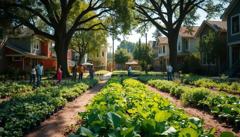
How DSNI Secured Eminent Domain To Implement A Community Vision
DSNI used its power to assemble scattered parcels and lease land to permanently affordable projects. This kept public investment tied to long-term benefit, not short-term profit.
Community Land Trusts: Affordability, Anti-Speculation, And 2008 Foreclosure Resilience
A community land trust separates ground from the building. Residents own homes while the trust holds the land, stabilizing prices and preventing flipping.
CLT owners fared far better in 2008: a 2011 study found 0.46% in foreclosure versus 4.63% in the conventional market. That resilience protected families and neighborhood fabric.
Measuring Impact: Keeping Homes Affordable Across Generations
Affordability covenants and resale formulas lock public dollars into long-term access. DSNI also built local capacity—developers, lenders, and partners—to deliver each project aligned with the community.
“Holding land for the public good turns one-time aid into a lasting community asset.”
| Strategy | Function | Outcome |
|---|---|---|
| Eminent Domain | Assemble vacant parcels | Prioritizes resident-led development |
| Community Land Trust | Separate land from home ownership | Stabilizes affordability long-term |
| Affordability Covenants | Resale formulas and oversight | Preserves access across generations |
DSNI’s model shows that community ownership of land can be a powerful part of a broader strategy to pair development with stability.
Mandela City And The Greater Roxbury Incorporation Project: Self-Determination As Policy
A mid-1980s drive to create an independent municipality sparked fierce debate about who should control land and local priorities.
The Greater Roxbury Incorporation Project (GRIP) proposed a separate city that would unite multiple neighborhoods under local government authority. Leaders like Andrew Jones and Curtis Davis argued that controlling land and budgets was the clearest way to protect housing and residents.
GRIP’s Referendum, Coalition Building, And Media Backlash
The campaign built broad coalitions across Dorchester, Mattapan, Jamaica Plain, the South End, and Fenway. Organizers framed the effort as a community-led project to steer development toward local needs.
National headlines labeled the idea divisive. Coverage in major papers called it a “separatist city,” which hardened political opposition and shifted voter sentiment.
Why The Vote Failed, And What Changed In Budgeting And Development Input
Voters rejected the referenda in 1986 and 1988 amid concerns about fiscal viability, governance, and re-entrenching segregation. Political resistance and fear of unintended outcomes outweighed organizing energy.
Still, the episode pushed city officials to improve budget transparency, refine assessment practices, and open clearer channels for community input on development. GRIP did not win a new city, but it changed the way government listens and plans.
“Land control is the key to self-determination.”
Cross-Neighborhood Dynamics: Jamaica Plain, The South End, And Today’s Gentrification
Cross-neighborhood investment creates ripple effects that reshape who can afford to stay and who must move. New public projects and private development often lift nearby property values. That can speed change in adjacent blocks and alter daily life for long-term residents.
South End’s Harriet Tubman House: Memory, Organizing, And Loss
The Harriet Tubman House at 566 Columbus Ave served diverse communities under United South End Settlements. Its sale and 2020 demolition sparked the Harriet Tubman House Memory Project, where neighbors documented services, memories, and community loss.
Memory work turned into organizing that pushed for stronger preservation and anti-displacement rules. That case shows how a single building can hold social services, cultural meaning, and the stakes of development choices.
Jamaica Plain’s Historical Ties To Slavery And Contemporary Segregation Patterns
Local histories in jamaica plain trace colonial landholding and links to slavery that shape modern patterns of segregation. Past ownership and zoning decisions help explain why today’s housing and school catchments sort who lives where.
When investment in one area raises land values, nearby roxbury residents face heightened pressure—especially renters in majority-renter neighborhoods. Developers respond to incentives; community benefits, historic preservation paired with affordability, and land trusts are practical tools to protect culture and people.
- Why it matters: cross-neighborhood coalitions can align development with equity goals.
- Tools: mission-driven projects, preservation with affordability, and community land trusts.
- Evidence: see housing equity research for long-term policy options.
Policy Headwinds And Openings: BPDA Critiques, Inclusionary Zoning, And A “New Boston”
The recent policy debate has pushed local planning into sharper view, with clear tensions between big development and community stability.
Case For Reform: Critics say the planning development agency’s combined powers have often privileged large projects over resident stability. Reform advocates argue that greater transparency and limits on land disposition can slow speculative churn and protect long-term residents.
Mayor Michelle Wu’s BPDA Reform Agenda And Rent Control Signals
The mayoral campaign elected on Nov. 3, 2021, signaled a shift toward rent stabilization and more equitable contracting. Policy moves aim to rebalance city procurement and demand stronger community benefits for major projects.
Inclusionary Zoning Limits Versus Land Trusts And Public Investment Guardrails
Inclusionary zoning helps create affordable housing but often falls short against market pressure. Deeper solutions pair IZ with public ownership tools like community land trusts, targeted eminent domain, and public land banks to lock in long-term affordability.
GIS Heat Maps And Public Data For Displacement Prevention
Advocates recommend building public data systems—GIS heat maps and displacement-risk indices—to target interventions. Transparent pipelines can guide where acquisition funds, anti-eviction programs, and mission-driven building efforts should focus.
| Policy Tool | Primary Function | Expected Outcome |
|---|---|---|
| BPDA Reform | Limit centralized land disposition | More community review; fewer speculative projects |
| Inclusionary Zoning | Create on-site affordable units | Some affordability, but often insufficient alone |
| Community Land Trusts | Separate land from home ownership | Long-term affordability; anti-flip protection |
| GIS & Public Data | Map risk and track change | Targeted, timely anti-displacement actions |
“Deeper affordability, community control of land, and standards that prevent displacement before it starts form a pragmatic menu to merge development with justice.”
Coordination Matters: Success requires city, state, and federal alignment; acquisition funds for mission-driven developers; and partnerships with universities and community groups to co-produce data and monitor neighborhoods today.
Conclusion
A century of policy and local action shows how control over land and capital set the stage for who stayed and who left.
That history links maps, agency decisions, and major removal episodes to today’s housing pressures. Community-led responses—legal tools, trusts, and memory projects—offer tested ways to protect homes and honor neighborhood history.
Practical steps work: expand community land trusts, fund public acquisition, require right‑of‑return commitments, and bind developers through clear metrics. The city and government must share accountability and track housing stability over years.
With transparent process, sustained investment, and community leadership, projects can build equity rather than repeat past harms. Planners, advocates, and neighbors must carry this project forward.
